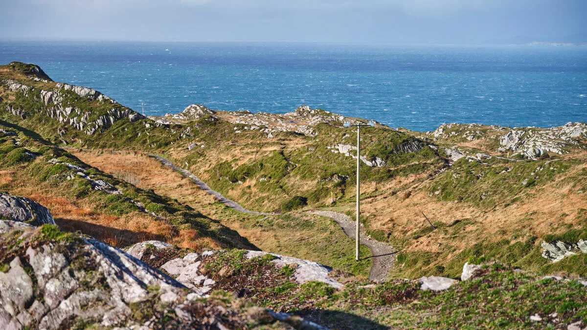
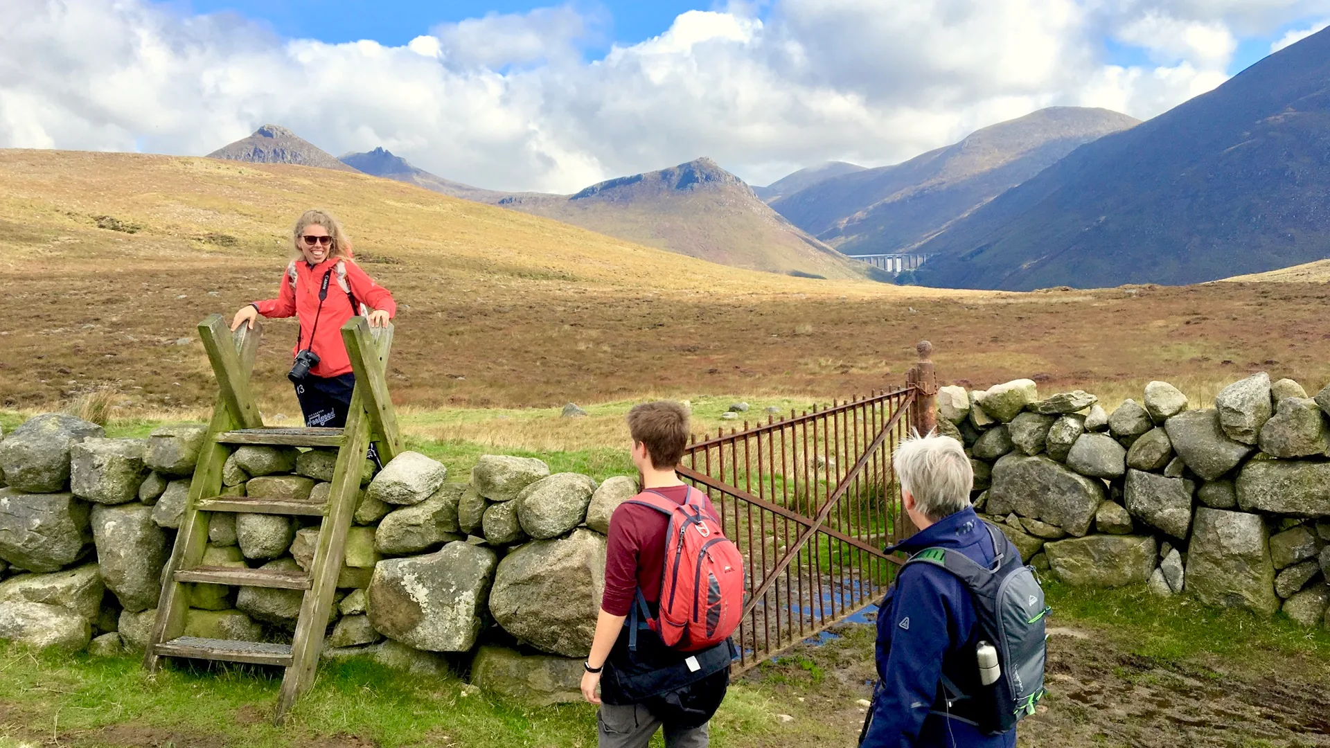
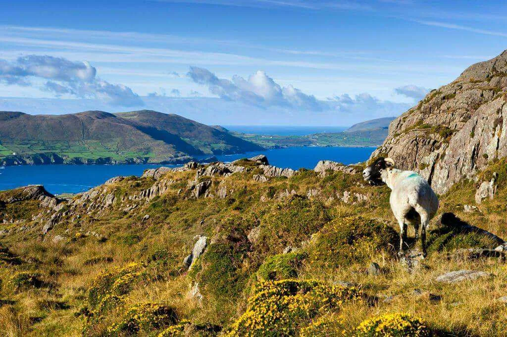
Burren Way: 123km Coastal Trail Through Limestone
Ready to walk it? See our self-guided Burren Way walking holidays with luggage transfer, hand-picked B&Bs and 24/7 support.
The Burren Way: Walking Through an Ancient Landscape
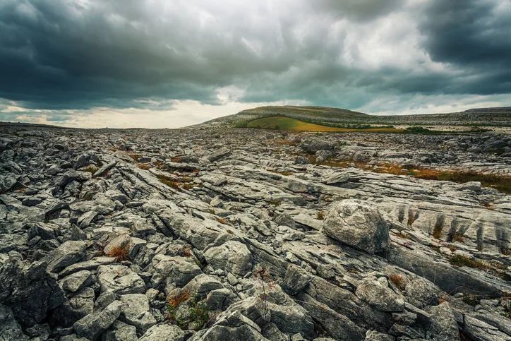
There's a moment on the Burren Way when you realise you're walking on another planet—or, at least, you imagine what other planets might feel like. If you're using a Burren Way walking guide to plan your journey, no description can truly prepare you for this experience. Your boots crunch on grey limestone pavement that stretches in every direction like some vast, ancient mosaic.
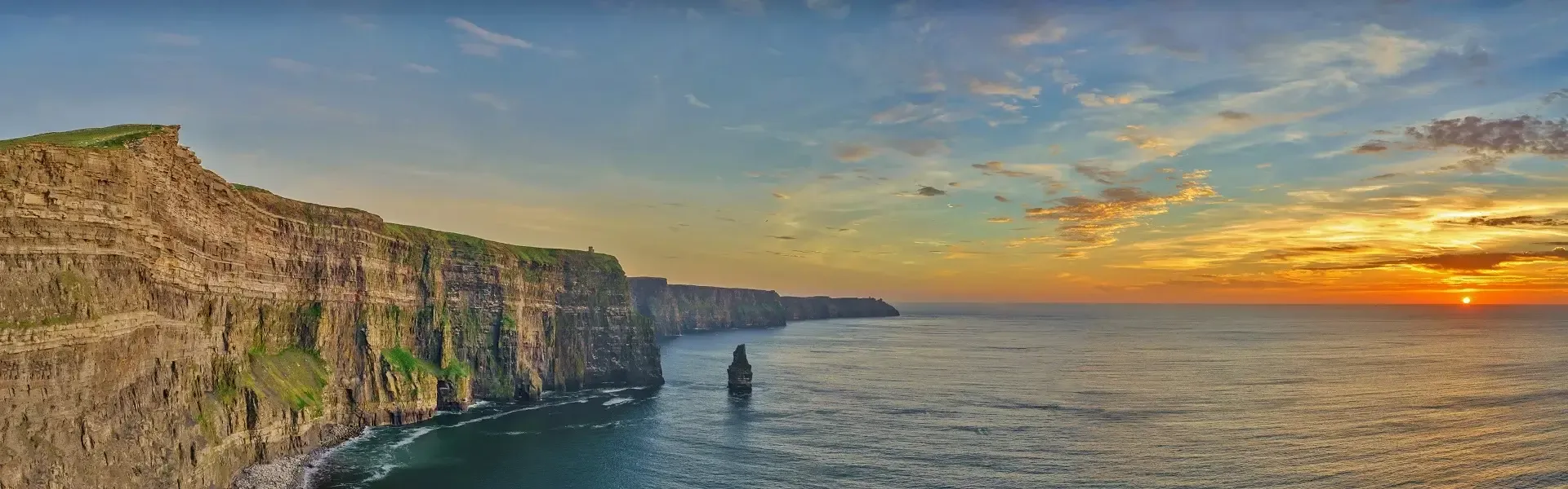
Wildflowers you've never seen before—and probably can't pronounce—bloom impossibly between the stone cracks. On one side, the land drops away to reveal the Cliffs of Moher, those dramatic sentinels that guard the Clare coast. On the other, the soft green hills of Galway roll toward the horizon.
This is the Burren Way, one of Ireland's most captivating long-distance walks and a route that rewards careful Burren Way route planning. Unlike the crowded coastal paths or the more famous Kerry Way, the Burren offers something rarer: solitude, wonder, and a landscape so distinctive that it feels like stepping backward in time.
I fell in love with this region years ago, and I keep returning—sometimes with walkers, sometimes just to wander alone and breathe in that particular Burren air. Whether you're planning a multi-day walking holiday with luggage transfers or tackling sections at your pace, this walking guide will help you understand what makes the Burren Way truly special and provide practical walking Burren Way tips you won't find elsewhere.
What is the Burren, Really?
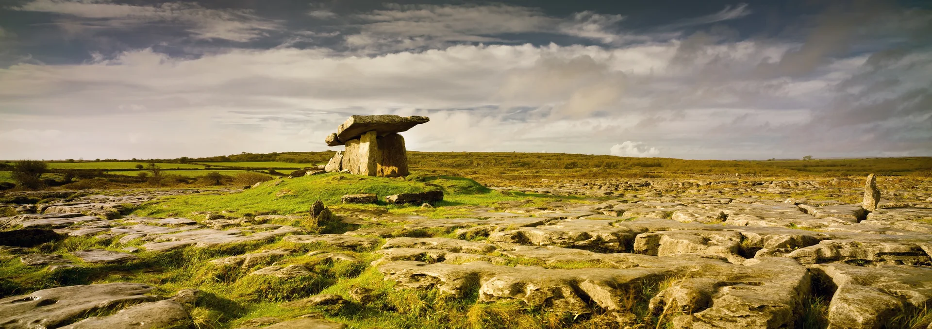
Before we talk about walking the route itself, it's worth understanding the landscape you're moving through. The Burren (Boireann in Irish, meaning "rocky place") isn't like anywhere else in Ireland. It's a 520-square-kilometre limestone plateau that rises gradually from the coast and stretches across County Clare to Galway and Offaly.
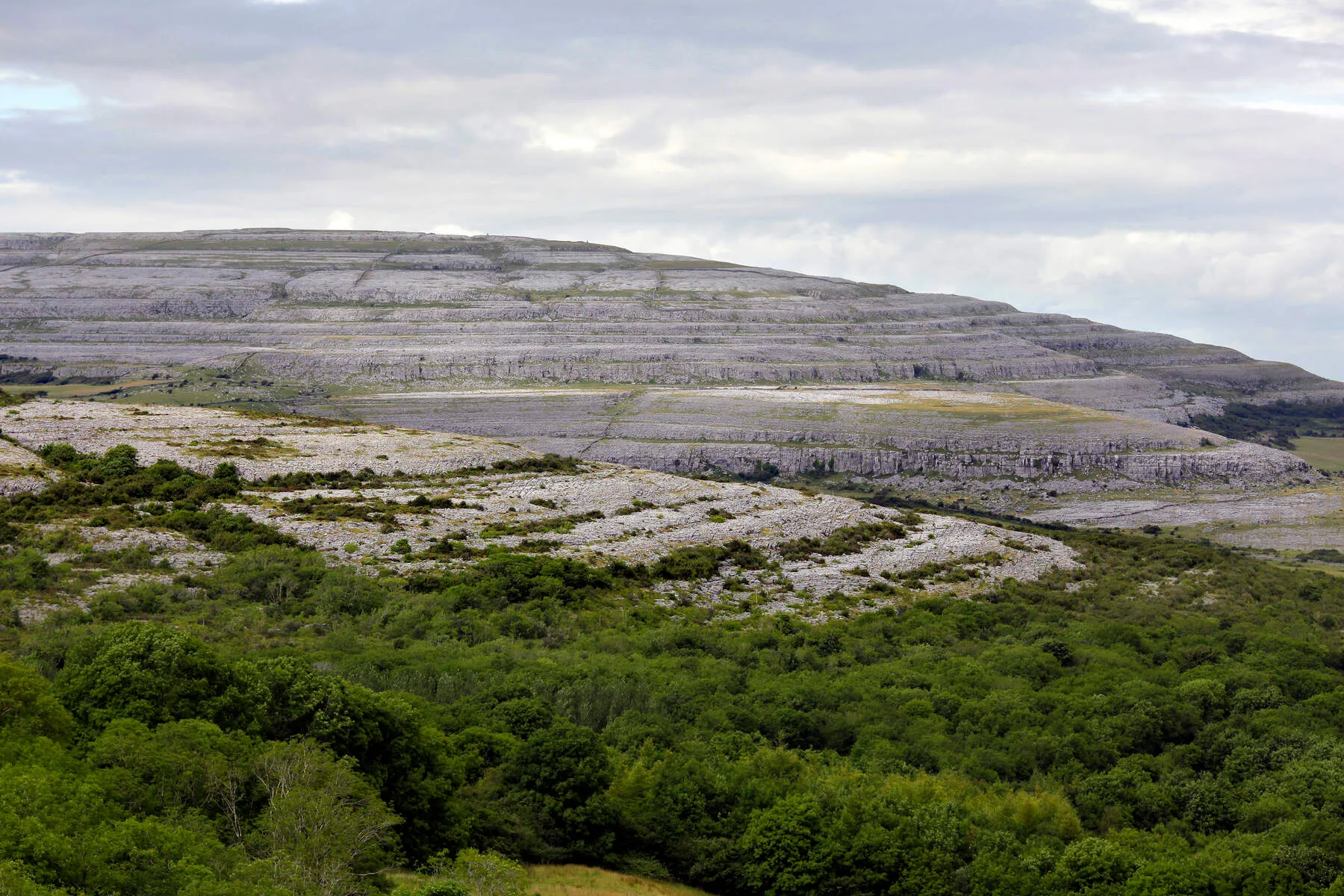
Glaciers shaped this land during the ice age, scraping away soil and exposing the raw bedrock beneath. What remains is karst topography—limestone that's been weathered, dissolved, and fractured into a stunning natural sculpture. There are no trees up here on the exposed uplands, just stone, low scrub, and sky. It's bleaker than the green, pastoral Ireland of postcards and infinitely more intriguing.
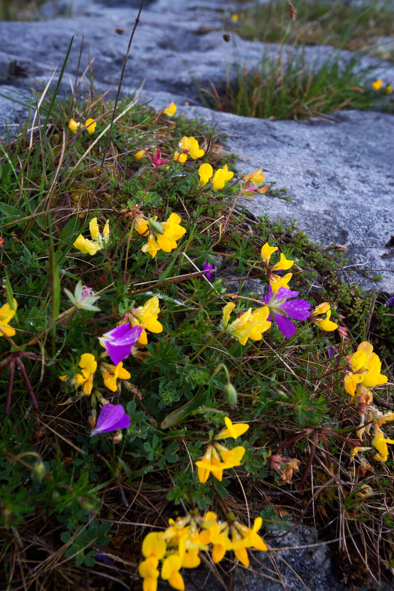
The climate here creates an ecological miracle. The limestone bedrock, despite looking barren, holds moisture and nutrients that feed rare alpine and Mediterranean plants. You'll observe bloody cranesbill, spring gentian, and hoary rock-rose blooming alongside arctic alpines—a plant community you'd expect to be scattered across vastly different latitudes, all thriving together in this small corner of County Clare. The best time to see wildflowers in bloom is May through July, when the limestone becomes a tapestry of colour.
Beneath the surface—quite literally—lies another world. The Burren is riddled with caves and sinkholes created by water dissolving the porous limestone. Ailwee Cave is the most famous, but cavers and geologists are still exploring dozens more.
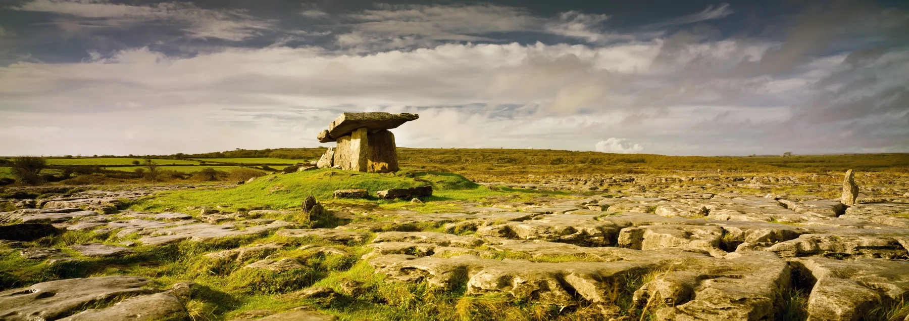
And everywhere you look, there are monuments to the people who came before us: stone circles, dolmens, ring forts, and ancient walls that crisscross the landscape like a three-dimensional map of history.
Burren Way Walking Guide: The Route at a Glance
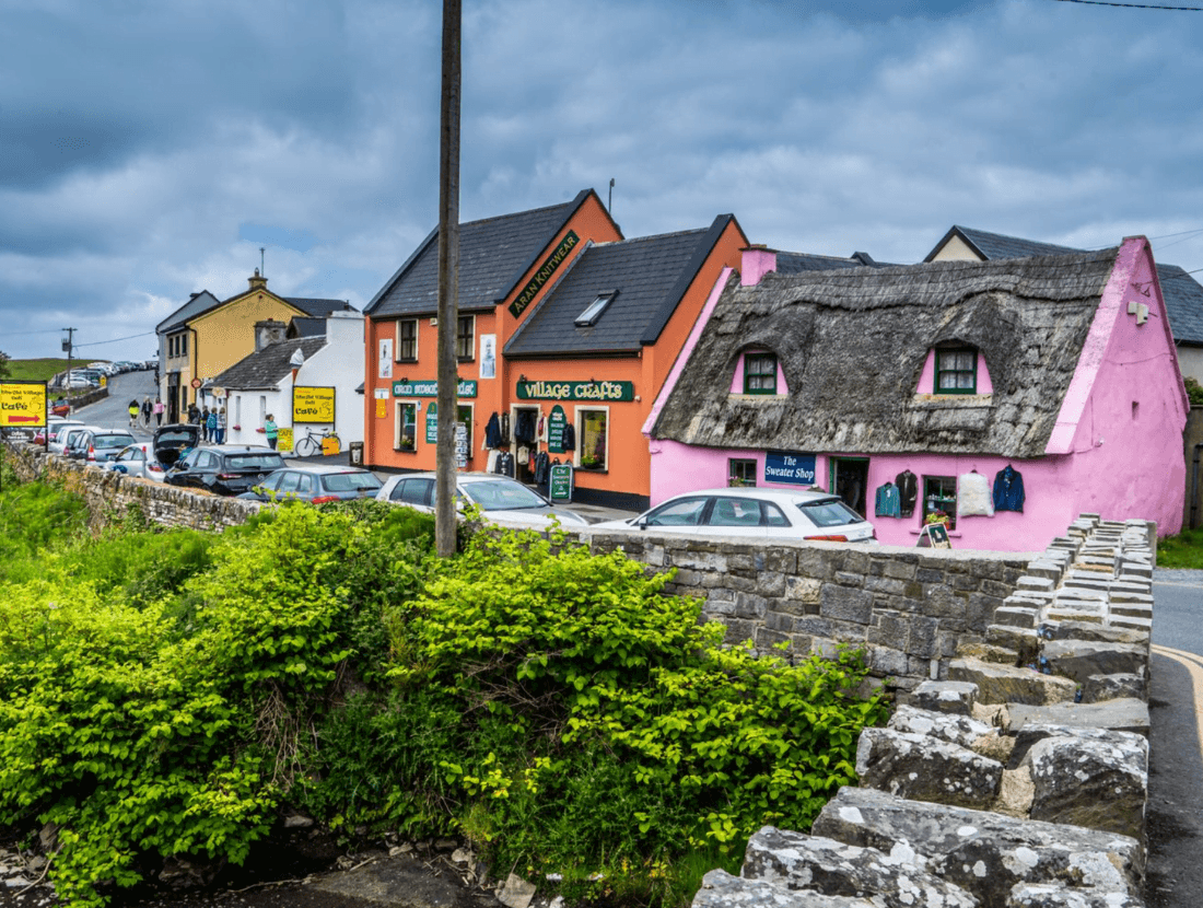
The official Burren Way is about 114 km long. It starts on the beach at Lahinch and ends in Corofin. On the way it passes the Cliffs of Moher, Doolin, Lisdoonvarna, Ballyvaughan and Carran.
Walking the whole trail takes a good week. So many walkers choose the finest section: the west coast from the Cliffs of Moher to Ballyvaughan. That is the part our tours walk.
The stages are moderate. There is no scrambling. The limestone is uneven, though, and slippery when wet. Good walking boots matter. Your luggage moves ahead each day, and a new guesthouse waits each evening.
Stage 1: Cliffs of Moher to Doolin (11 km)
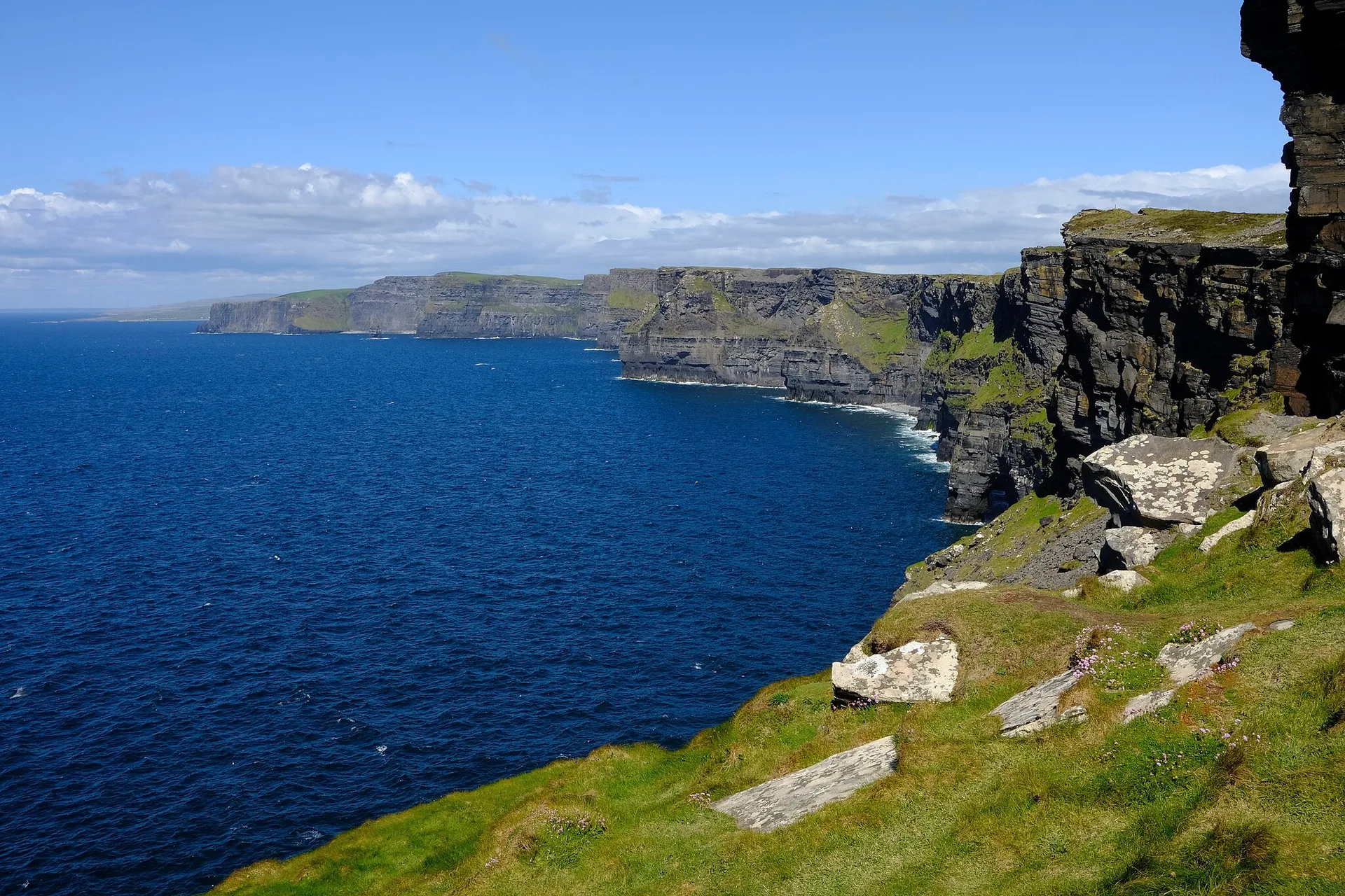
In the morning we take you to the Cliffs of Moher visitor centre. From here you follow the cliff path north. The cliffs rise up to 214 metres. Guillemots, razorbills and, in early summer, puffins nest on the ledges.
The path ends in Doolin. The village is known for Irish music. There are sessions in the pubs most evenings.
Distance: 11 km | Terrain: Cliff path | Difficulty: Moderate
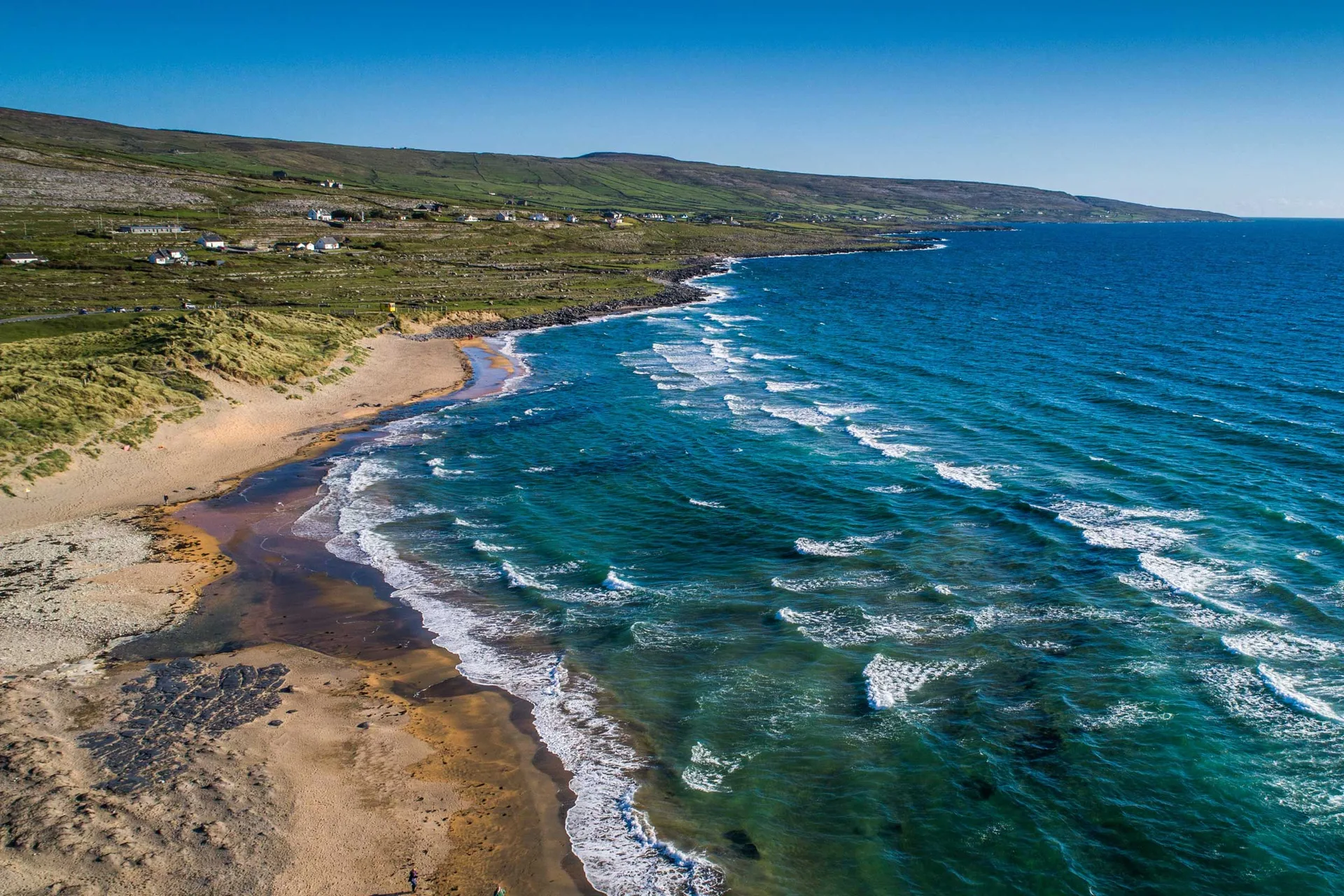
Stage 2: Doolin to Fanore (18.9 km)
From Doolin the trail climbs into limestone country. You walk on old farm tracks between stone walls and meadows. On clear days you can see the Aran Islands out at sea.
Along the way you pass old castle ruins and stone forts. In the afternoon you drop down to Fanore and its long sandy beach.
Distance: 18.9 km | Terrain: Farm tracks and quiet roads | Difficulty: Moderate
Stage 3: Fanore to Ballyvaughan (19.3 km)
The last stage is the longest. It crosses the grey limestone hills north of Fanore. This is the Burren at its wildest. In May, gentians and orchids flower between the stones.
At the end you see Galway Bay and walk down into Ballyvaughan. The small harbour village has good pubs and restaurants.
Distance: 19.3 km | Terrain: Limestone paths and farm tracks | Difficulty: Moderate
Burren Way Stages: Summary
Stage | Route | Distance | Highlights |
|---|---|---|---|
1 | Cliffs of Moher to Doolin | 11 km | Cliff path, seabirds, music in Doolin |
2 | Doolin to Fanore | 18.9 km | Limestone country, views of the Aran Islands |
3 | Fanore to Ballyvaughan | 19.3 km | Wild Burren, wildflowers, Galway Bay |
Total | Cliffs of Moher to Ballyvaughan | about 49 km | Three walking days on the west coast |
More time? With 6 or 7 days you get a free day in Doolin, for example for the ferry to the Aran Islands. The longest tour adds a loop walk near Ballyvaughan and Aillwee Cave. See all tours and prices on our Burren Way walking holidays page.
Geological Wonder: Understanding the Landscape
What you're walking through is a geology textbook come alive. The limestone that forms the Burren was laid down in warm, shallow seas roughly 320 million years ago during the Carboniferous period. Countless tiny organisms died and settled on the seafloor, their shells accumulated into thick layers of sediment that eventually became stones.
When those seas retreated and the land rose, the limestone was exposed to weathering. Rainwater—which is slightly acidic due to dissolved carbon dioxide—seeps into tiny cracks in the stone and dissolves it over millennia. This process has created the distinctive pavement landscape you see today, where limestone appears as horizontal slabs separated by vertical fissures called "grikes." These grikes are often several meters deep, and the microclimates within them allow rare plants to thrive while protected from wind and grazing animals.
If you want to learn more about the Burren's geology, the Geological Survey of Ireland has excellent resources. But you don't need to be a geologist to feel the ancientness of this place. It speaks for itself.
Ancient History and Stone Monuments
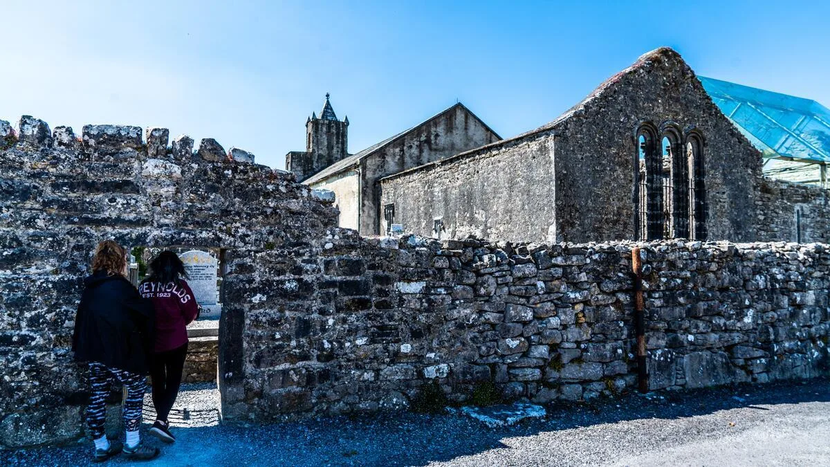
The evidence of habitation in the Burren for at least 4,500 years is everywhere, provided you know where to look. Stone Age people left scattered flint tools. Neolithic farmers built the earliest structures—the dolmens you'll see are passage tombs, collective burial chambers built between 4000 and 3000 BCE.
Bronze Age people (roughly 2000-500 BCE) left their marks too: the stone circles and standing stones scattered across the landscape. Then came the Celts, and later the Christian monks who established monastic settlements.
The Burren is unusual in that you don't need to visit a museum to understand its history—the landscape itself is a museum. Every wall, every monument, every ruin tells a story. The best approach is to walk slowly, notice what you see, and let the landscape speak to you. If certain monuments pique your interest, your accommodation hosts or a local guide can offer more in-depth context.
Essential Burren Way Route Planning: What to Bring
Footwear: Sturdy walking boots with excellent ankle support. Waterproof is essential for walking on karst limestone in Ireland.
Layers: Waterproof jacket and warm layer.
Navigation: Map or walking app.
Sun Protection: Sunscreen, hats, and sunglasses.
Supplies: Water and snacks.
Camera: For capturing the landscape.
Best Time to Walk the Burren Way: Route Planning Essentials
May-June: Wildflowers and fewer walkers.
July-August: Warm weather, more crowded.
September: Pleasant weather and fewer crowds.
Avoid October-April due to weather and closures.
Luggage Transfers and Accommodation
Most walkers planning their Burren Way itinerary use luggage transfers and stay in guesthouses or small hotels along the route—this is where having a reliable trail guide becomes invaluable for booking ahead.
Connected Walks and Day Excursions
Cliffs of Moher Walk
Aran Islands Day Trip
Ailwee Cave
Fanore Beach Walk
Connecting to Other Irish Walking Routes
The Burren Way connects well with other routes such as the Kerry Way and the Causeway Coast.
Safety Considerations
Navigation: Carry a map.
Ankle Hazards: Watch footing.
Weather: Prepare for change.
Isolation: Limited shelter.
Cliff Edges: Stay on paths.
Gates: Close behind you.
The Real Burren Experience: Final Thoughts from Your Burren Way Walking Guide
The Burren Way offers solitude, geological interest, and cultural depth that few other walks in Ireland can match.
It suits walkers who enjoy quiet landscapes, slow travel, and the unique Burren landscape Ireland provides.
Walk it over several days and take your time.
The Burren stays with you long after you leave.
Further Reading and Resources
Geological Survey Ireland
Official Burren Way Website
"The Burren: Limestone, Life and Legends"
Walk with purpose, and may the Burren's unique magic touch you.
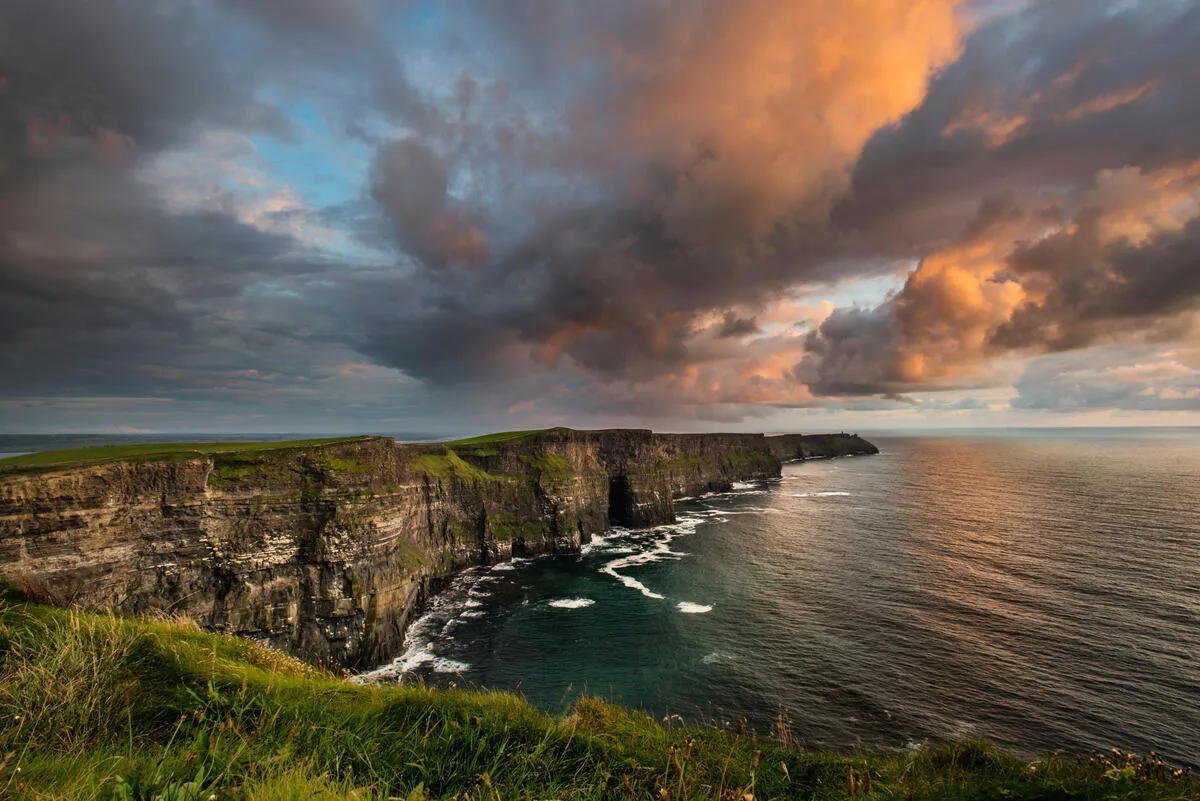
The Burren Way is one of the routes we run inn-to-inn. If you would like the B&Bs booked, the bags moved and the maps in your hand, browse our self-guided walking tours.
Frequently Asked Questions
Are the trails well-marked?
What kind of boots should I wear?
What are the most essential items to pack for a walking holiday in Ireland?
What is the most popular route?
Photo Gallery