Tóchar Phádraig: The Ancient Pilgrim Road to Croagh Patrick
Walking Tóchar Phádraig feels like stepping backward through time. This ancient pilgrim path Ireland has carried pilgrims toward Croagh Patrick for over a thousand years, and the moment your boots hit the first stretch, you understand why. I walked this 35-kilometer route from Ballintubber Abbey in County Mayo on a cool March morning, mist clinging to the boglands, and felt the quiet pull of something genuinely sacred. The trail combines real history with manageable terrain—steep enough to feel earned, honest enough to ask something of you. Whether you're walking for faith, fitness, or simply because the path calls, Tóchar Phádraig is Ireland's most authentic pilgrim walk experience.
The History Behind the Pilgrim Path
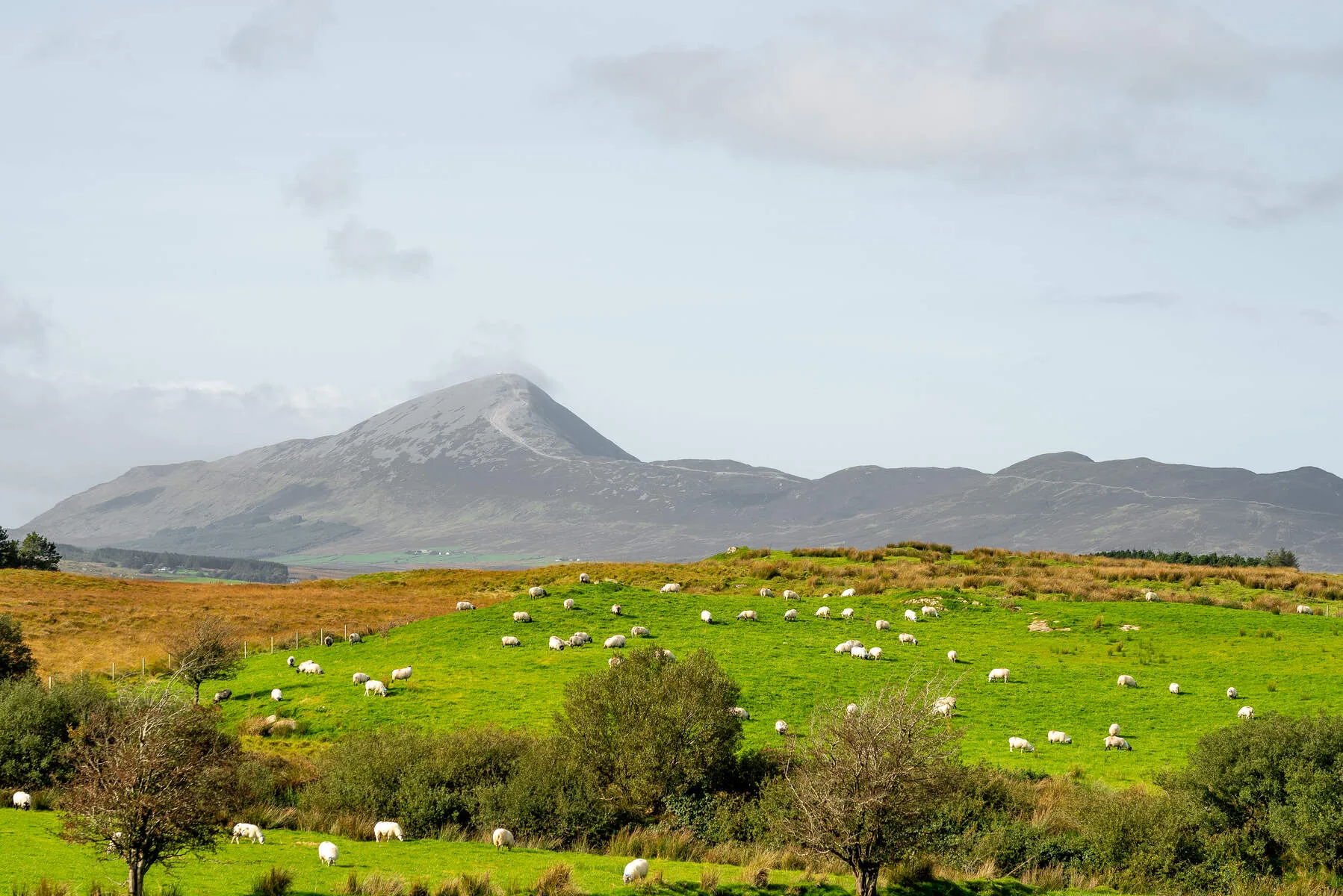
Tóchar Phádraig—the "Way of Patrick"—has roots that go back further than most Irish trails. Saint Patrick himself is said to have walked this route when traveling to preach to the people of Connaught. The formal pilgrimage tradition, though, grew strongest in medieval times, when Irish believers made their way to Croagh Patrick's summit as an act of devotion.
Croagh Patrick became one of Ireland's most important pilgrimage destinations after Patrick supposedly banished snakes from Ireland from its peak. (The snakes, historians note, were likely a metaphor for pagan beliefs.) The road began life as a chariot road from Rathcroghan, seat of the kings and queens of Connacht. When Ballintubber Abbey was founded in 1216, a hostel was built for pilgrims, and its remains are still in the abbey grounds. After 1588 the road declined, and in Penal times it fell out of use as a pilgrim path, until it was restored in 1987. Today hundreds walk it every year—though most come for the journey itself rather than suffering.
What strikes me most about this pilgrim path Ireland is that it's still a working pilgrimage route. You'll meet walkers of genuine faith, families hiking together, and solitary travelers seeking time alone with their thoughts. Tóchar Phádraig holds space for all of them without judgment.
Understanding the Tóchar Phádraig Route: 35 Kilometers from Abbey to Summit
The full Tóchar Phádraig runs about 35 kilometers from Ballintubber Abbey to Croagh Patrick. The pilgrim road itself finishes at Murrisk, at the foot of the mountain, and the last act is the climb to the summit chapel. Most walkers break this pilgrim walk Ireland into two days, splitting at Aghagower, roughly halfway—the same way the abbey runs its own “Half Tóchar” group walks.
The route begins at Ballintubber Abbey, a medieval monastery that's still in use today. From there the path heads west across County Mayo, following old lanes, field paths and more than a hundred stiles over private farmland. In places, clearing work has uncovered stone flags thought to be part of the original road. It passes Aghagower, with its round tower and holy well, then the Boheh Stone, before reaching Murrisk and the final steep push up Croagh Patrick itself.
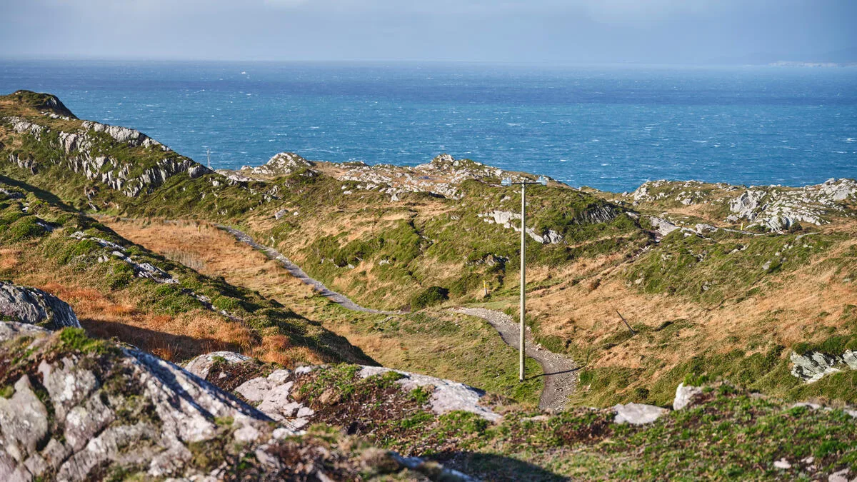
The terrain is mixed. You'll cross wet fields and boggy patches, climb over low hills and stiles, and walk along quiet country roads for sections. Mobile signal is spotty. This isn't a manicured tourist route—it's a working trail that asks you to pay attention.
Walking the Trail Section by Section
Ballintubber Abbey to Aghagower (about 15 km, around 4 hours)
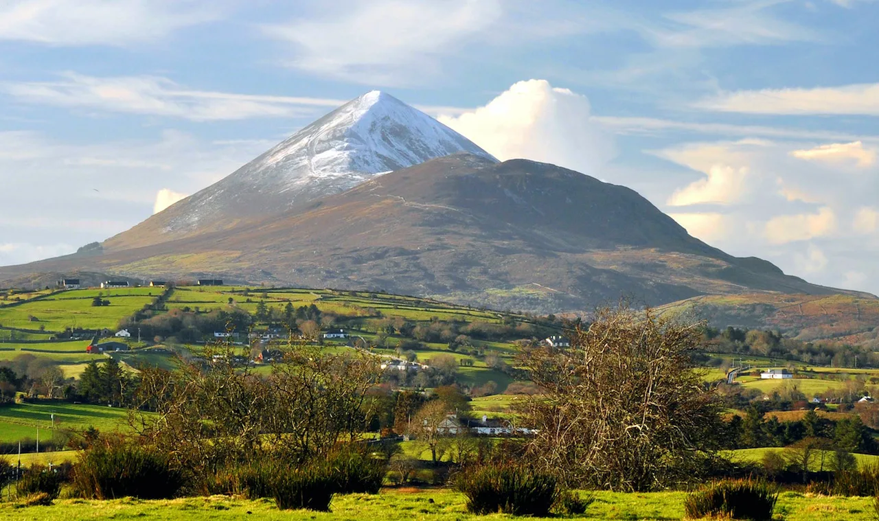
The opening stretch leaves Ballintubber Abbey and heads west through quiet farmland, along lanes and field paths with plenty of stiles. The climbing is gentle all day. I walked this section of the Tóchar Phádraig in low cloud, and visibility dropped to maybe 50 meters at points. After rain the fields and boggy patches are spongy underfoot, with puddles to step around, so good boots matter from the first kilometre.
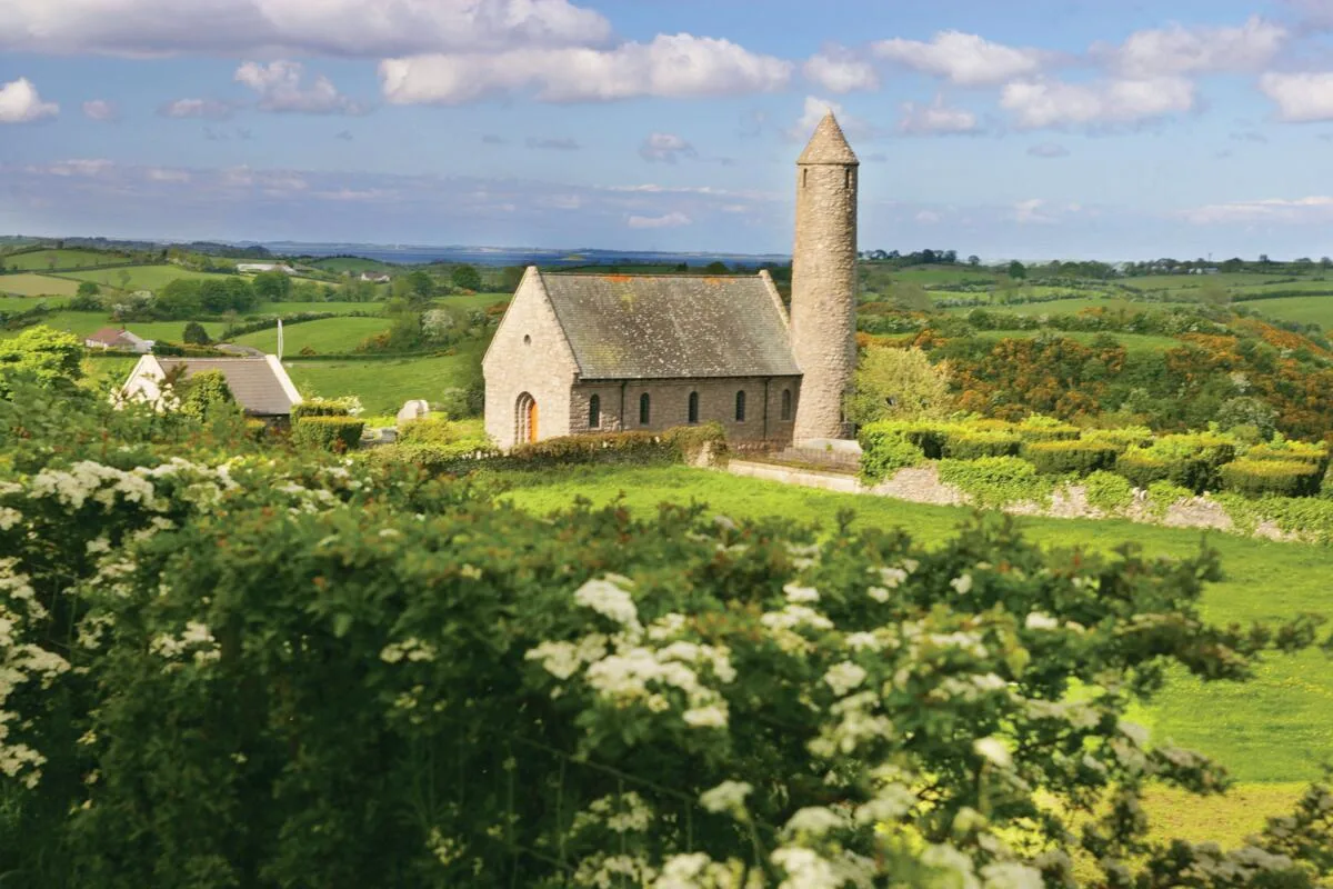
As you near Aghagower, Croagh Patrick starts to show itself on the horizon. Aghagower is the traditional halfway point, with a round tower, an old church, a holy well and the spot known as St Patrick's Bed.
Aghagower to Murrisk (about 18 km, 4–5 hours), then the summit
The second day leads on through farmland and quiet lanes to the Boheh Stone, also called St Patrick's Chair, a rock outcrop covered in prehistoric carvings. Further on, Lankill has an old stone altar and a cross-inscribed stone. The path then climbs gently toward the mountain before dropping down to Murrisk on the shore of Clew Bay.
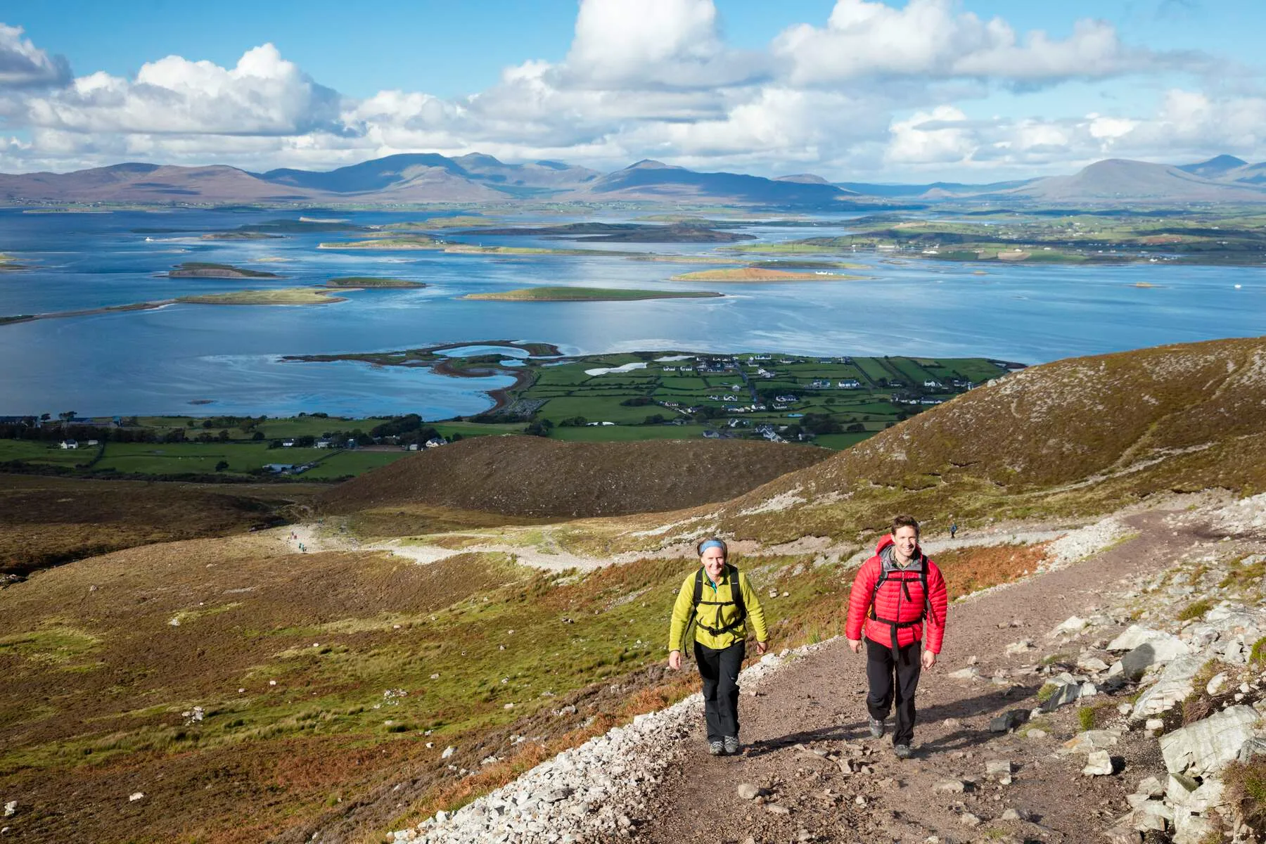
The final Croagh Patrick walk begins at the car park in Murrisk. From here it's 7 km up and back on the main pilgrim path, climbing to the summit at 764 metres—steep, with loose quartzite stone in places, although new steps now help on the final stretch. Allow 3–4 hours. On the day I summited, I climbed above the cloud layer and found blue sky at the top while the lowlands remained fogged in.
Map of the Tóchar Phádraig
Elevation profile
Distances and times: Ballintubber Abbey and Fáilte Ireland. Stage lengths are measured from the map. Route lines: © OpenStreetMap contributors (ODbL), drawn along mapped paths. A guide only: follow the waymarks on the ground.
What to Expect on the Ground
Walking this pilgrim path means accepting uncertainty. Wet sections are genuinely muddy after rain. I crossed sections where water was above my boot tops. The open ground, and the mountain itself, are exposed. Wind picks up fast.
The people you meet matter too. I shared a meal with a group of pilgrims from Dublin who walk this route annually. A walker from Germany told me she'd come to Croagh Patrick every year for fifteen years. The path brings intention to every step.
Practical Information
Getting There: Ballintubber Abbey is in County Mayo, on the N84 between Castlebar, Claremorris and Ballinrobe, about 20 km from Westport. Westport, close to the end of the walk, is your best base.
Before You Set Off: Register at Ballintubber Abbey before you walk, and walk with at least one other person. The path crosses private farmland with more than 100 stiles, so stay on the route. The abbey also runs guided group walks through the year, with transport back to the abbey at the end.
Best Time to Walk: May through September. The main pilgrimage occurs on Reek Sunday, the last Sunday in July. See our guide on the best time to visit Ireland.
Gear: Waterproof jacket and trousers, waterproof hiking boots, gaiters, trekking poles. Check our packing list.
Accommodation: Aghagower is only about 6 km from Westport, so many walkers stay in Westport and get a lift back to the path for day two. Book ahead during Reek Sunday season.
The Irish Pilgrim Paths guide covers other sacred routes. We also offer self-guided walking holidays throughout County Mayo.
Trail Overview
Section | Distance | Elevation | Terrain | Difficulty |
|---|---|---|---|---|
Ballintubber to Aghagower | ~15 km | ~80 m | Fields, stiles, lanes | Moderate |
Aghagower to Murrisk | ~18 km | ~330 m | Lanes, field paths, hillside | Moderate |
Murrisk to the summit (and back) | 3.5 km up (7 km return) | ~750 m | Steep stony path, steps near the top | Hard |
Total to the summit | ~35 km | ~1,150 m | Mixed | Moderate-Hard |
Ready to Walk the Tóchar Phádraig Pilgrim Path?
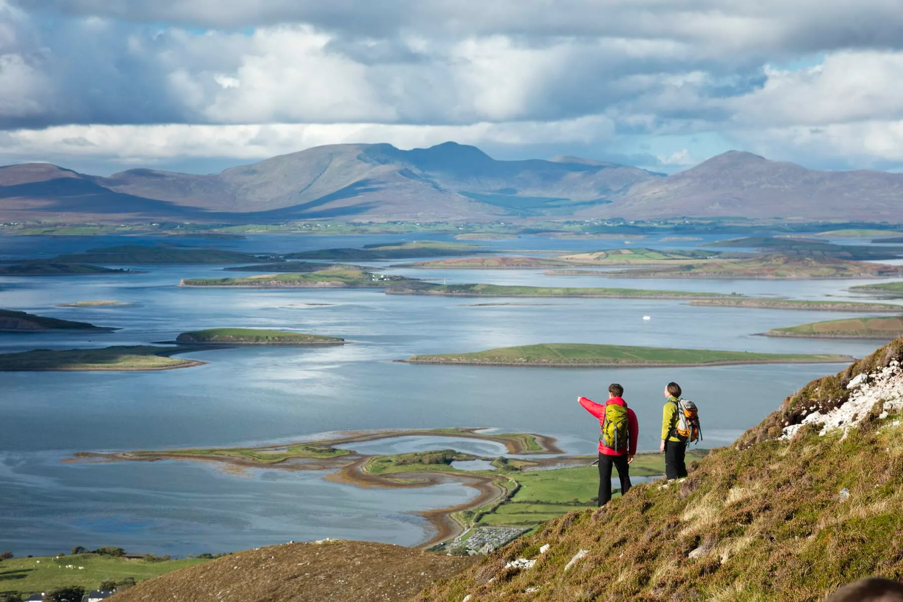
We can help organise your Tóchar Phádraig walk from Ballintubber Abbey—accommodation, transport, and local knowledge. Get in touch and let's plan your pilgrim walk from Ireland to Croagh Patrick's summit.
Frequently Asked Questions
Can I walk Tóchar Phádraig solo?
Yes, many people do. Carry a mobile phone and let someone know your plans. Weather changes fast on the bog. Walking with a partner is safer on the summit section.
How difficult is the Croagh Patrick summit?
Steep and scree-based with 764 m of elevation over 3 km. Use trekking poles and turn back if weather deteriorates. I took roughly 90 minutes from the base.
Which routes are most challenging?
How should I train before my walking holiday?
What fitness level do I need for a walking holiday in Ireland?
How does Tóchar Phádraig compare to other pilgrim paths in Ireland?
It's a two-day intensive trail to a sacred summit. Other routes like St Finbarr's Way are longer and more distributed. The Croagh Patrick walk is uniquely steep at its conclusion.