Carrauntoohil Hike: Routes, Height and Tips for Ireland's Highest Mountain
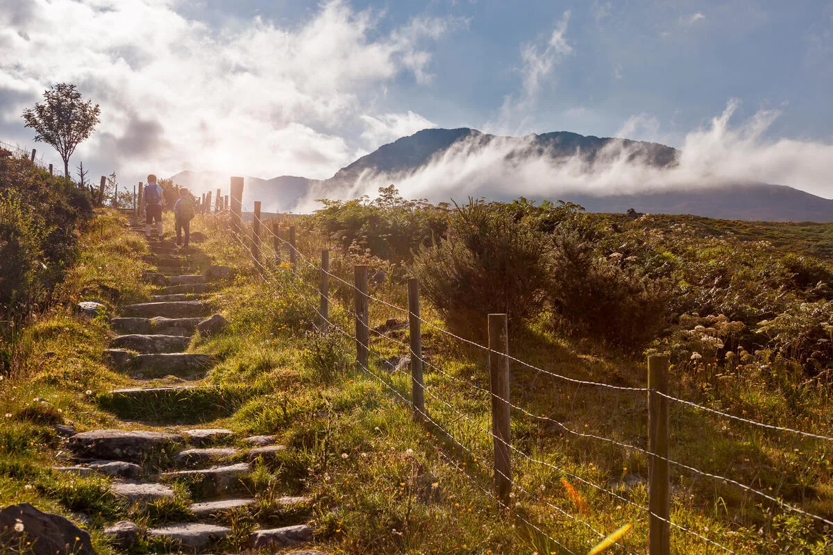
Carrauntoohil is the highest mountain in Ireland. It stands 1,039 metres tall. That is 3,407 feet. It rises in the MacGillycuddy's Reeks in County Kerry, west of Killarney.
The Carrauntoohil hike is on many wish lists. The height sounds modest. But the summit is a real mountain day. There are steep gullies, loose scree and fast changing weather. Here you will find the real routes, walking times, a map and honest safety tips.
Carrauntoohil Hike: Quick Facts
Carrauntoohil at a glance
- Height: 1,039 m (exactly 1,038.6 m), or 3,407 ft
- Range: MacGillycuddy's Reeks, County Kerry
- Walking time: about 6 hours there and back
- Start: Cronin's Yard or Lisleibane car park, near Beaufort
- Difficulty: a mountain walk with steep sections. Map and compass are a must.
- Dogs: not allowed on Carrauntoohil
The map shows where Ireland's highest mountain stands, and a climb from Cronin's Yard.
Ireland's Highest Mountains Compared
Carrauntoohil is clearly the highest mountain in Ireland. No peak outside the Reeks comes close. These are the highest mountains on the island:
| Mountain | Height | Region |
|---|---|---|
| Carrauntoohil | 1,039 m | MacGillycuddy's Reeks, Kerry |
| Brandon | 952 m | Dingle Peninsula, Kerry |
| Lugnaquilla | 925 m | Wicklow Mountains |
| Galtymore | 918 m | Galtee Mountains |
| Slieve Donard | 849 m | Mourne Mountains, Northern Ireland |
So Carrauntoohil is more than 85 metres higher than any other peak outside the Reeks. Slieve Donard, the highest mountain in Northern Ireland, is about 190 metres lower.

The Four Carrauntoohil Routes
There are four classic routes. Our details follow Kerry Mountain Rescue. All times are there and back.
Important: There is no safe way down to the north, northeast, east or southeast of the summit. In mist, only leave the top with a compass.
1. Devil's Ladder (about 6 hours)
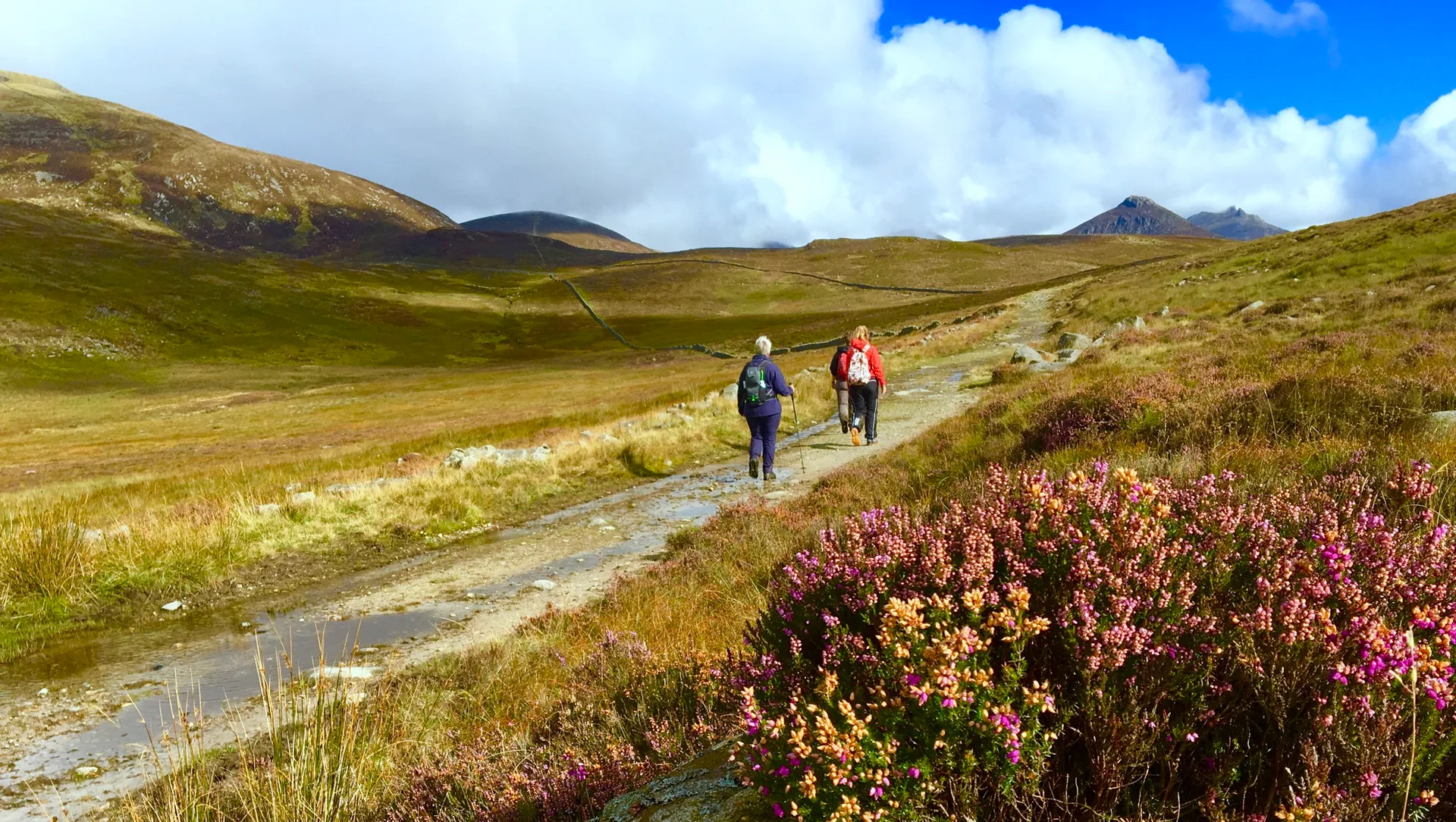
This is the best known route. You start at Cronin's Yard or Lisleibane car park. Then you walk through the Hag's Glen, past two mountain lakes. At the end you climb a steep gully. That is the Devil's Ladder.
Take care: The gully is badly eroded. There is loose scree and falling rock. Keep your distance from groups above you. The zigzag path, Bóthar na Gige, is also eroded. Walkers have slipped there too.
2. Brother O'Shea's Gully (about 6 hours)
The start is the same as for the Devil's Ladder. Before the river crossing you turn into a quieter high valley. The route is more scenic and usually less busy.
There is some easy scrambling with a little exposure. You can avoid most of it. The upper part is steep. In ice, the last slope to the summit becomes dangerous.
3. Caher Route via Coomloughra (about 6 hours)
This route starts in the west, at a gate onto the hydro track at Coomloughra. It is long, but easy to follow. It leads over Caher to Carrauntoohil.
Part of the path runs along a cliff edge. Take great care here in wind. In mist, finding your way at the col is not easy.
4. Coomloughra Horseshoe (about 8 hours)
This big loop is only for experienced hillwalkers. It joins the Caher route with the Beenkeeragh Ridge. This ridge is narrow and very exposed. You will need to scramble.
Never walk this loop in strong wind or ice. In winter the days are short. You will need to move quickly.
How Long Does the Carrauntoohil Hike Take?
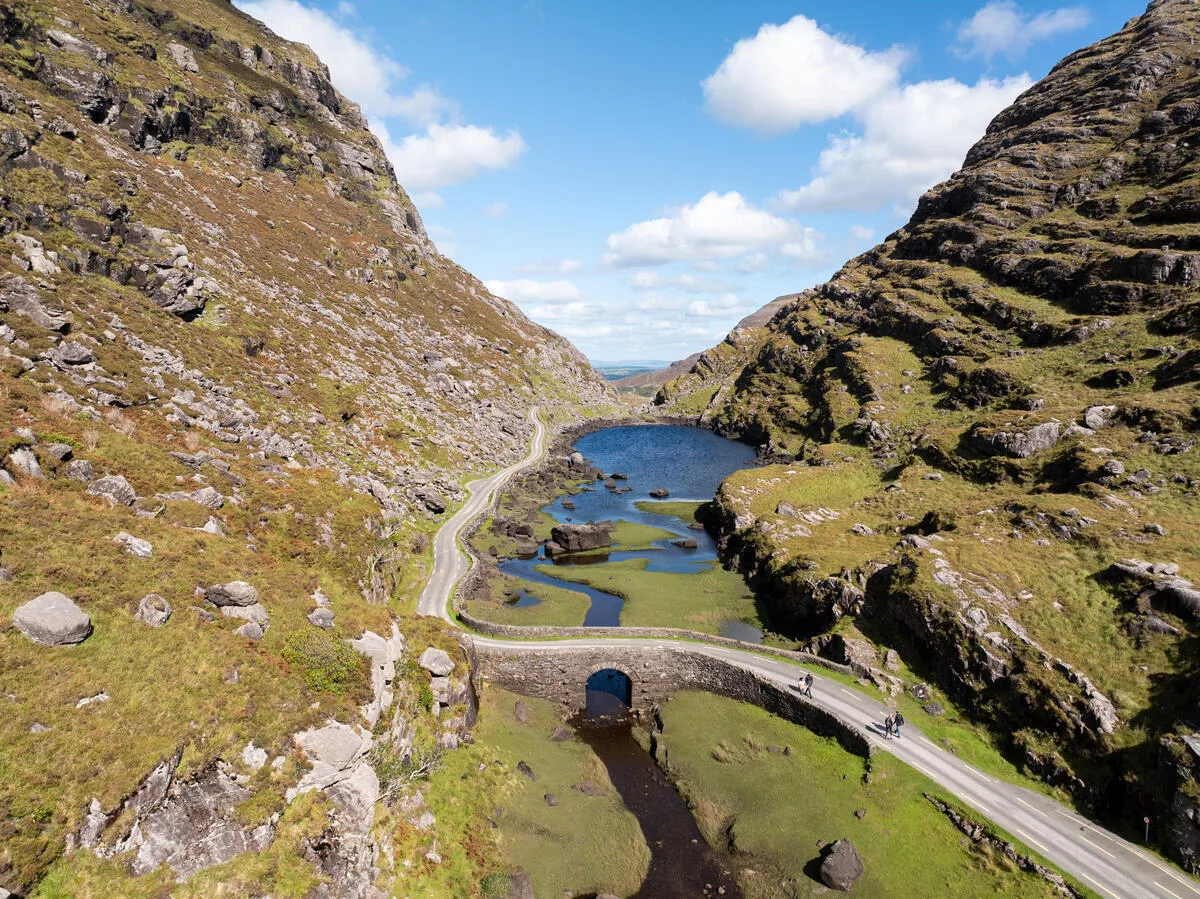
Allow about 6 hours there and back. The Horseshoe takes about 8 hours. Plan for breaks and some spare time.
Start early in the morning, ideally between 7 and 8 am. Then you reach the top around midday and are back in the afternoon. That leaves time if the weather turns.
The descent is often harder than the climb. Your knees feel it most. Go slowly and bring walking poles.
Training and Gear
Training
You need good fitness for Carrauntoohil. Start 8 to 12 weeks before.
- Long walks: 12 to 15 km with at least 500 m of climbing
- Up and down: practise steep climbs and, above all, descents
- Stamina: walk for 5 to 6 hours at a time, often
Gear
- Walking boots with good ankle support
- Rain jacket and rain trousers, even in summer
- Warm layers, plus a hat and gloves
- Rucksack of 20 to 25 litres
- Water, at least 2 litres, and food
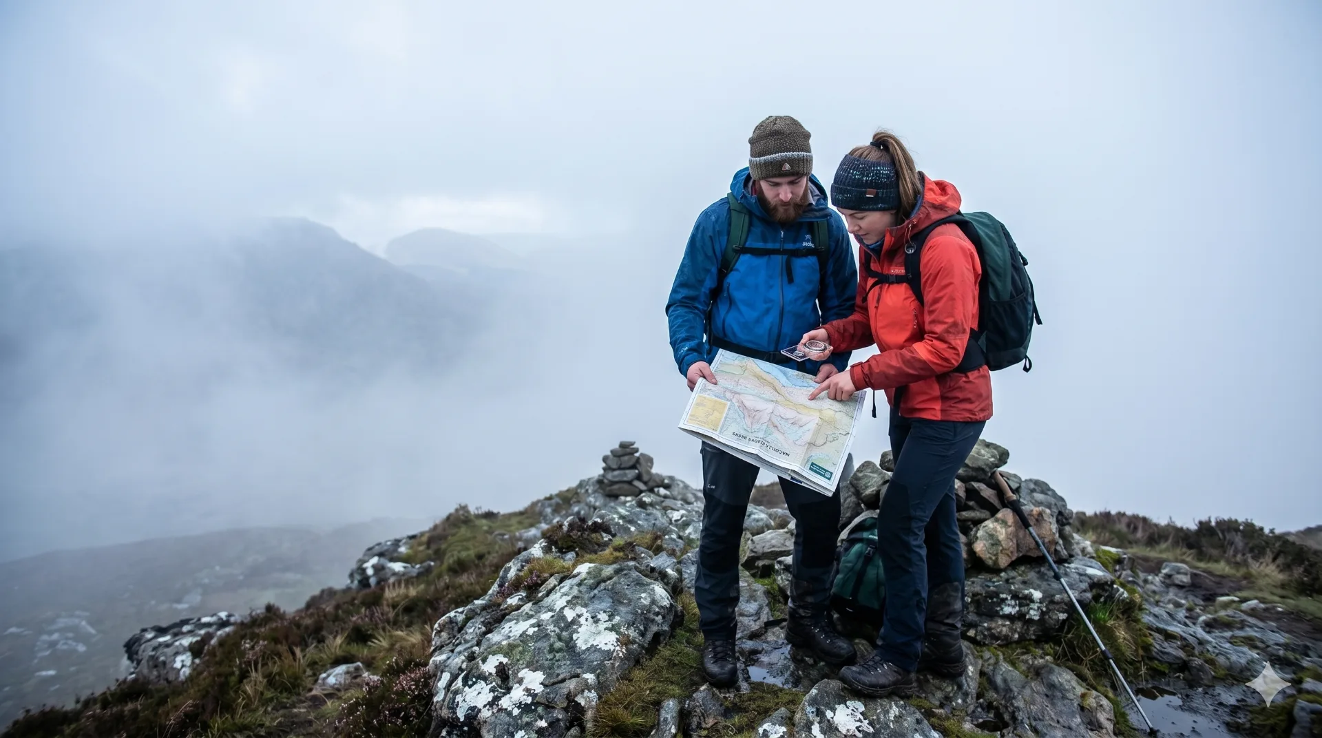
- Map and compass at 1:25,000. Use GPS only as a backup.
- First aid kit and head torch
- Charged phone for emergencies
Staying Safe on the Mountain
Weather
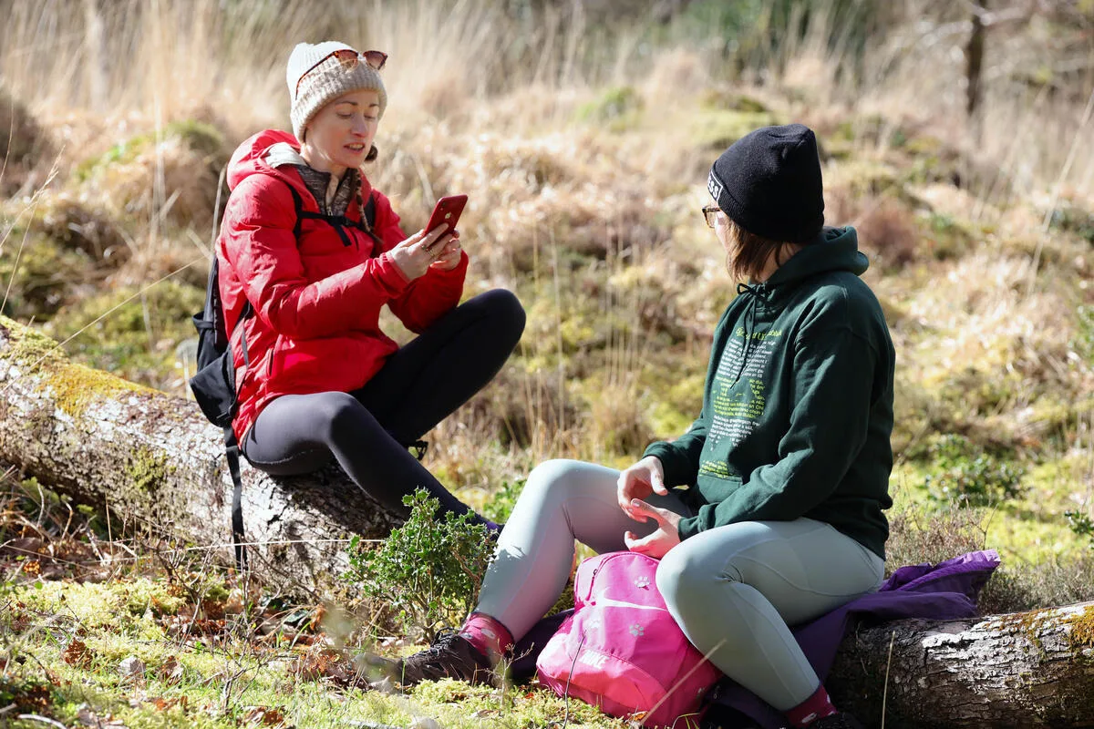
The weather in the Reeks changes very fast. A light breeze in the valley becomes a gale on top. Check the Met Éireann mountain forecast before you go. In mist or strong wind, put your walk off.
Navigation
Mist can roll in within minutes. Then you can barely see the path. At least one person in your group should be confident with map and compass.
Alone or With a Guide?
Do not go alone. If you are unsure, book a local mountain guide. Kerry Mountain Rescue gives the same advice.
In an Emergency
Call 112 or 999 and ask for Mountain Rescue. You will find more tips in our safety tips for walking in Ireland.
Carrauntoohil FAQ
What is the highest mountain in Ireland?
The highest mountain in Ireland is Carrauntoohil, in the MacGillycuddy's Reeks, County Kerry. It is 1,039 metres high.
How high is Carrauntoohil in feet?
About 3,407 feet.
How long does it take to climb Carrauntoohil?
About 6 hours there and back. The Coomloughra Horseshoe takes about 8 hours.
Do I need a guide?
Not always. If you lack mountain experience or practice with map and compass, a local mountain guide is the safe choice.
When is the best time to climb Carrauntoohil?
From May to September. The days are long and the weather is often more settled. Even so, mist and wind can come in on top at any time.
Can I bring my dog?
No. Dogs are not allowed on Carrauntoohil.
Carrauntoohil and the Kerry Way
The Kerry Way runs right below the Reeks. From the Black Valley you climb over the Lack Pass to Glencar. Ireland's highest mountain is on your right along the way.
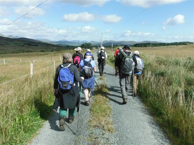
That way you enjoy the Reeks without summit stress. And if you do want to climb, just add an extra day. Talk to us, we are happy to help you plan it.
You will find every stage in our Kerry Way walking guide. See days and prices on our 8 day Kerry Way walking tour. For gentler walks around Killarney, read our guide to the best hikes in Killarney National Park.
Photo Gallery